Skip to main content
search
favorite
shopping_cart
account_circle
Collections
Editor's Picks
Trending
New
Sign In
Topography Prints
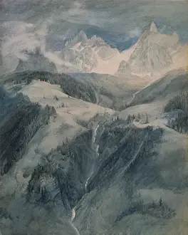
Cascade de la Folie, Chamoni, 1849
£69.98 Framed (other products available)
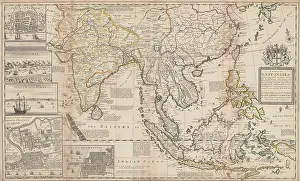
A MAP OF THE EAST-INDIES AND THE ADJACENT COUNTRIES
£69.98 Framed (other products available)
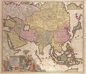
MOST ACCURATE DELINEATION OF ASIA, INTO PRINCIPAL REGIONS, by Charles Allard, 1702
£69.98 Framed (other products available)
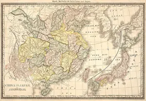
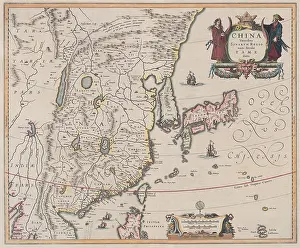
Map of eastern China and Japan
£69.98 Framed (other products available)
Map of China 1638, by Dutch cartographer Jan Jansson
£69.98 Framed (other products available)
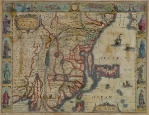
THE KINGDOM OF CHINA, an English map of 1626
£69.98 Framed (other products available)
Topographical map of 2013 shows the South China Sea
£69.98 Framed (other products available)
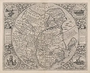
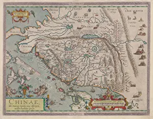
THE KINGDOM OF CHINA, 1593, by Cornelis de Jode is based on the earlier work
£69.98 Framed (other products available)
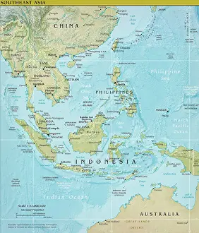
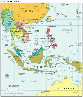
Political map of 2013 depicting Southeast Asia and its complex ocean waterways
£69.98 Framed (other products available)
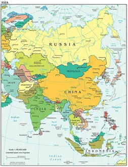
2008 political map of Asia, includes the fringe of eastern Europe and the Nordic countries
£69.98 Framed (other products available)
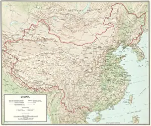
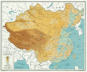
Topographical map of China, ca. 1970
£69.98 Framed (other products available)
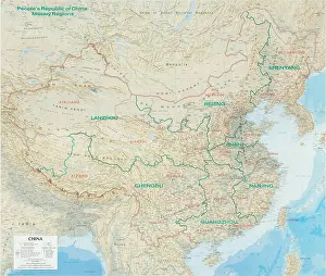
Map of China with Chinese military command zones delineated
£69.98 Framed (other products available)
CHINA AND ADJACENT AREAS, 1947
£69.98 Framed (other products available)
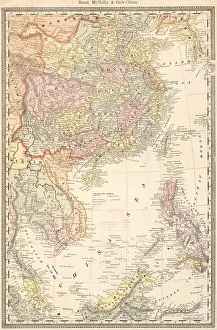
Map of South China Sea in 1885
£69.98 Framed (other products available)
A NEW DESCRIPTION OF CHINA, 1588
£69.98 Framed (other products available)
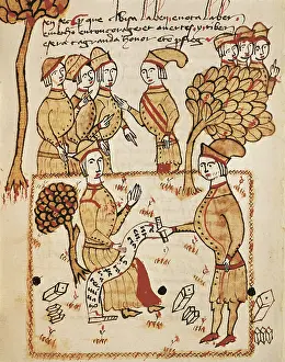
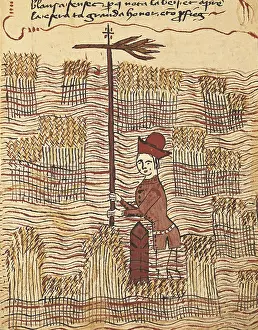
BOYSSET, Bertrand (1355-1415). Surveyor
£69.98 Framed (other products available)
BOYSSET, Bertrand (1355-1415). Surveyor
£69.98 Framed (other products available)
All products are expertly crafted, using premium materials, tailored to your specifications and promptly shipped
© Copyright Everett Collection - All Rights Reserved 2026
Orders fulfilled by
Media Storehouse
®